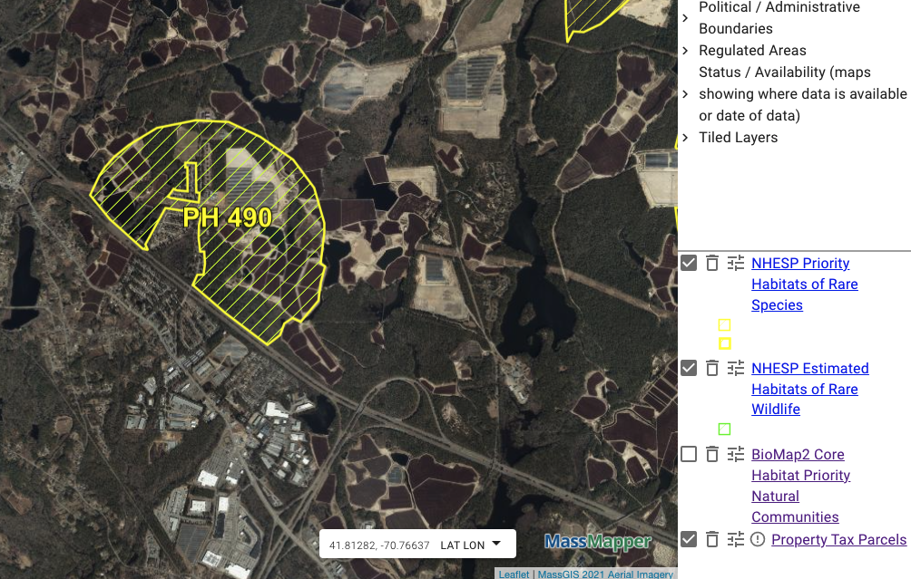
The entire 42 acre site wasidentified as Priority Habitat 490 and “Priority Habitat Estimated Habitat of Rare Wildlife” by the Massachusetts Department of Fish and Game (also calling itself MassWildlife) Natural Heritage and Endangered Species Program (NHESP). AD Makepeace obliterated it by clear-cutting forest and sand mining. Nothing will grow here again in human time. The NHESP program signed off on this. All records from our Public Records Request to NHESP in 2021 are accessible to the public here.
BioMap2 NHESP map showing Priority Habitat 490 at the location of Makepeace’s 42 acre strip mine and solar site.
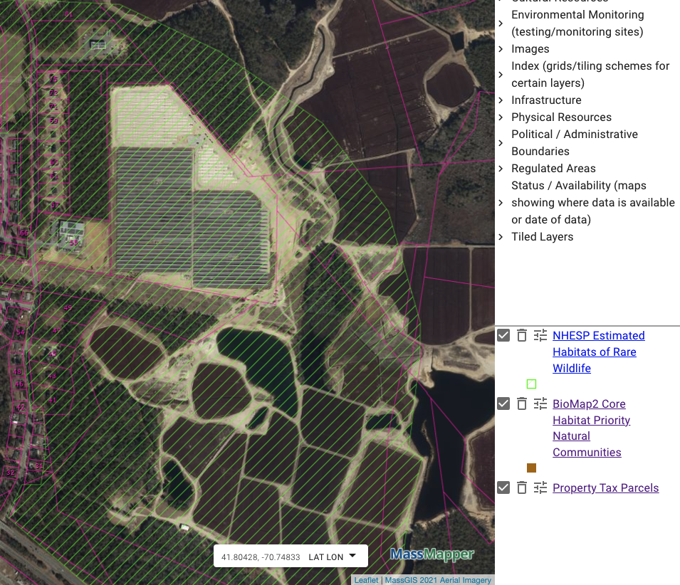
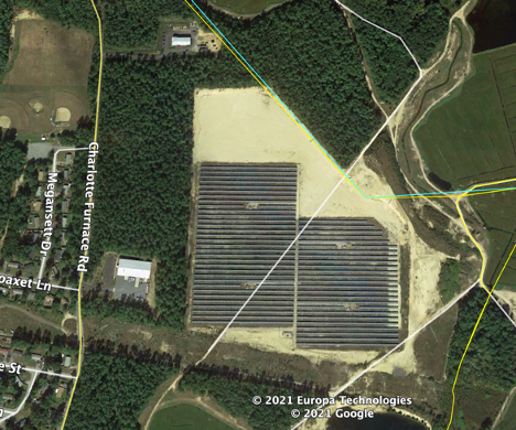
Still under construction as of 2021
Between 2009 and 2021, AD Makepeace clear-cut pristine forest, conducted a sand mining operation without a permit from Wareham, and built a 42 acre solar project. Makepeace is leasing the land to Borrego Solar that build the solar project.
Before AD Makepeace’s sand mining operation here, the site had varied topography up to about 71 feet; how it appears to be at 60 feet.
Beals+Thomas Engineering brags about this destruction on their website
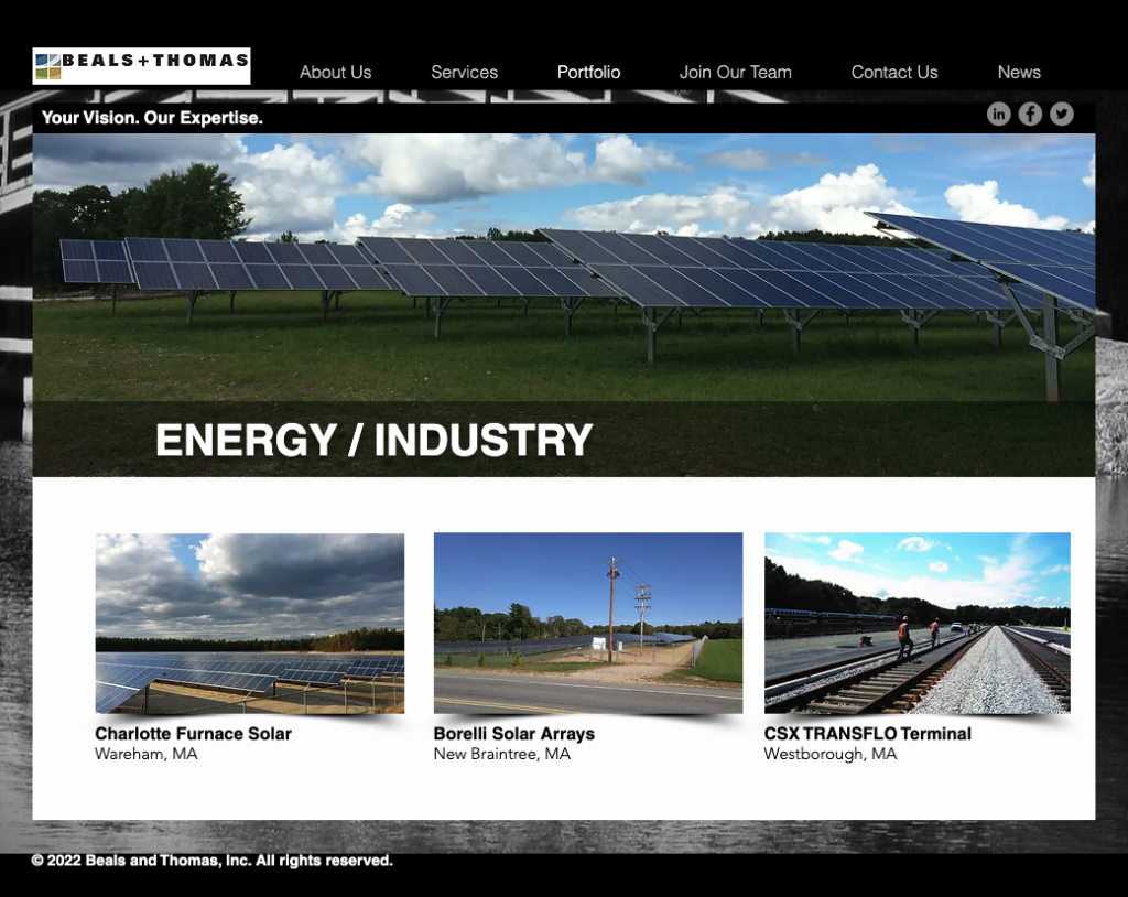
Above: Beals+Thomas Website, accessed 1/31/2023
AD Makepeace admits sand and gravel mining without a permit
On November 25, 2018, the Wareham Town Engineer reported to the Wareham Planning Board “the site is in a previously worked area that has been extensively cleared for other operations”. Makepeace’s Planning Board Site Plan Review application states the solar will be built in an area extensively cleared “for other operations”. That is, Makepeace’s industrial sand mining operations, removing sand and gravel for commercial sale.
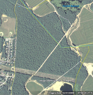
Mass Historic Commission signed off in 2010
What are “significant archeological sites” to Mass Historic Commission? It does not appear there was a consultation with the Wampanoag community before AD Makepeace started strip mining the site in 2010.

[…] 71 Charlotte Furnace Road, Wareham […]